A set of works for collecting, clarifying, and structuring data on land resources. Land inventory in Ukraine is carried out based on a comparison of current data (aerial photography frames, topographic maps, orthophotos, digital terrain model, and relief) with the data of the cadastral register.
When is a land inventory needed?
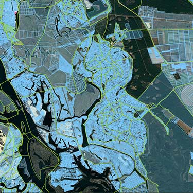
Inventory of agricultural lands.
If you have purchased a plot of land, this research will help you determine its exact area and purpose and determine what objects are located on your site: water bodies, forests, or buildings.
Suppose you have owned land for a long time. In that case, the inventory is needed to monitor the state of natural resources, clarify the current boundaries of fields, forest belts, buildings, or canals, and identify unused areas.
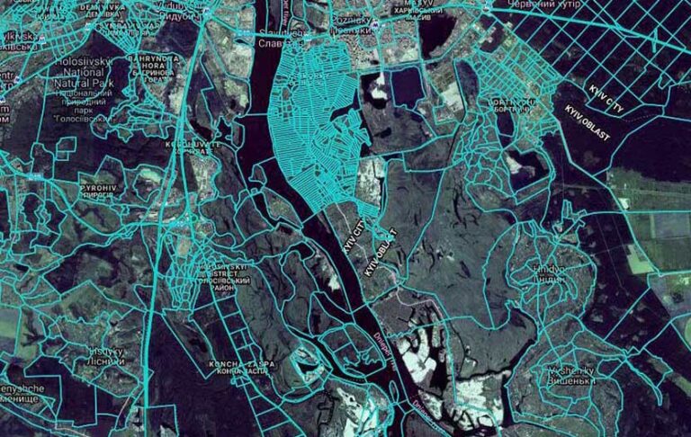
Land inventory of settlements.
If you manage a united territorial community, you need an inventory for
• Identification of all landowners and clarification of the boundaries of their land plots.
• Fixations of unused or irrationally used areas.
• Establishment of city boundaries.
• Determining the quantitative and qualitative composition of the land.
• Obtaining information on land ownership or lease.
• Comparison of territorial boundaries with the state cadastral register.
The land inventory and audit process, which is carried out using modern technical equipment, drones, and software, does not take much time and does not require many costs.
Stages to perform land inventory:
They are getting product requirements to document from the customer and collecting information on existing data (old cadastres, topographic maps, and orthophotos).
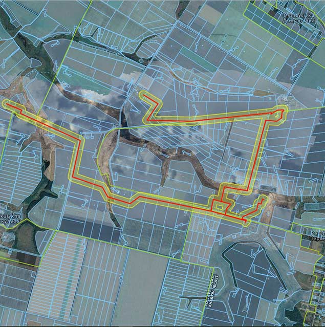
Carrying out aerial photography with setting the exact coordinates of the area and collecting actual geodetic data on the state and features of the territory or settlement.
Data processing and updating, orthophotoplan of the land plot compiling with a detailed digital map of the area with the image of the surface and location of objects.
All collected and systematized information is transferred to the customer.
The land audit is conducted to clarify the location and boundaries of the land plot, calculate the area, and determine the facts of improper or irrational land use.
The process of inventory does not take much time and takes place in several stages – information collection, aerial photography, processing, and systematization of data