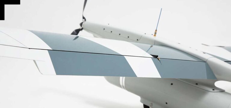
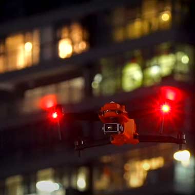
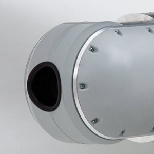
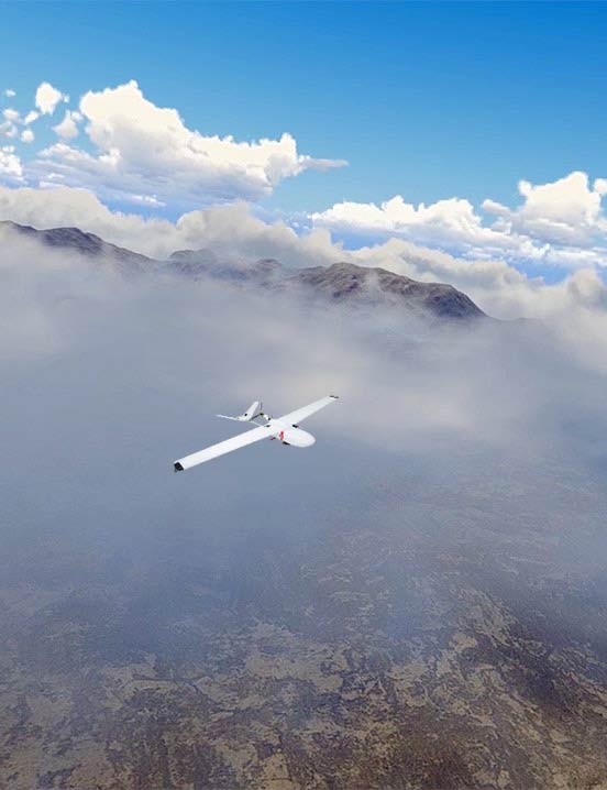
DEF-C has extensive experience in unmanned aerial vehicles (UAV), including its own production and quadcopter-type drones. Our UAVs are equipped with the latest equipment needed to solve specific tasks. The equipment is used in extreme conditions to patrol long-distance objects and hard-to-reach areas far away from stationary control points.
Equipment Variability
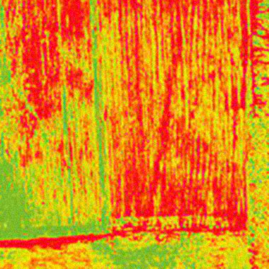
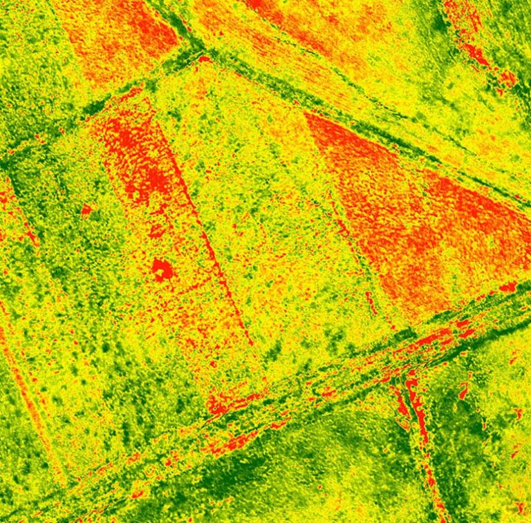
Photo / video cameras, thermal imagers, gas analyzers, and more.
Instant Information
Real-time data acquisition, complete object control.
High Quality
A new level of aviation monitoring quality with subsequent data visualization.
Objects Monitoring
Response to the incident by coordinates, regardless of the length of the object.
Main fields
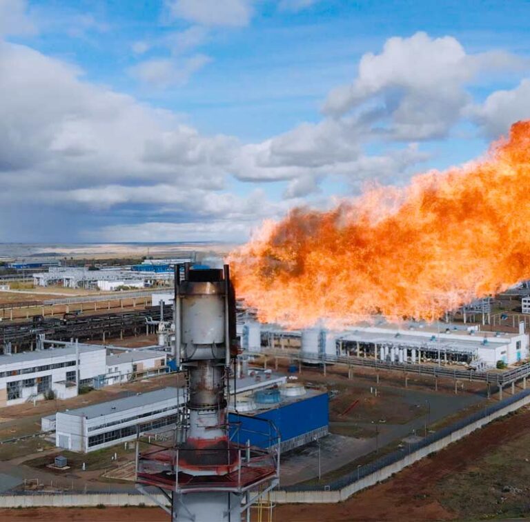
Since 2015, the company’s specialists have been working in the oil and gas industry and energy, ecology, municipality and agriculture, and land cadastre.
In addition to the public sector, the company works with commercial organizations.
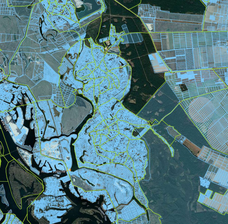
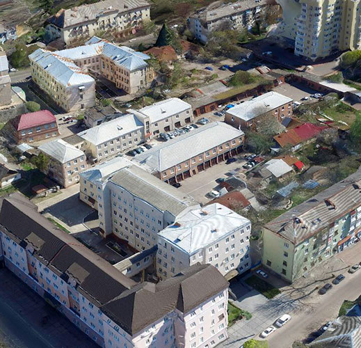
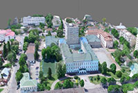
Def-C uses high-end equipment and state-of-the-art digital solutions to create top-quality and high-precision orthophotos, with details according to provided coordinates.
It monitors hard-to-reach, dangerous places and long-distance facilities and prevents environmental disasters. Shooting is carried out at a minimum altitude in a wide range of temperatures, at any time, regardless of weather conditions.
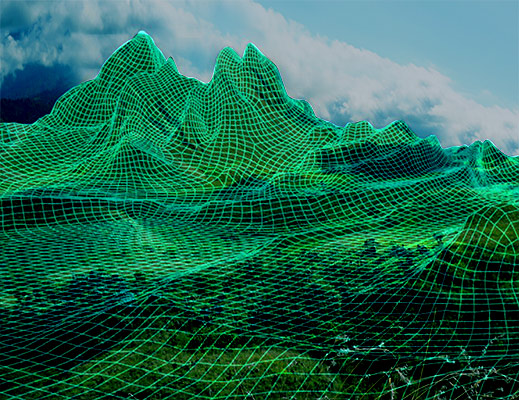
Terrain maps and digital terrain models are created by processing spatial data from drones, satellites, and space imagery. Such models contain quantitative and qualitative characteristics of reliefs necessary for designing.