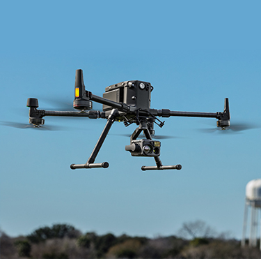
Photos and videos using drones and UAVs. Aerial photography means taking photos or videos of various objects from a height you need using a drone (copter) and UAV (unmanned aerial vehicle). It allows you to create a high-precision 3D terrain model.
When to Use Aerial Photography?
With the help of aerial photography, you can get high-quality spatial data to create orthophotos, topographic maps, and digital terrain models.
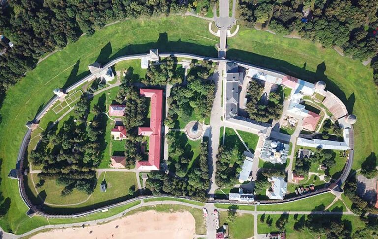
Orthophotoplan
It is a detailed digital map of the area on a scale from 1:500 to 1:5000 with high resolution. It is used for architectural and construction works, studying ecological changes, and solving agricultural and industrial problems.
Topographic Map
It is a digital image of the area based on information about terrain, vegetation, roads, geodetic reference points, and cultural and economic objects. Topographic maps are used for various purposes, from engineering to landscaping
Digital Terrain Model
It is information about the surface and height of a particular area without displaying objects. Such a model is needed to construct roads, buildings, landscaping, and research
Drone shooting for creative tasks:
— Shooting for movies and television
— Making the commercial projects and advertising
— Photo/video shooting of events: weddings, corporate parties, concerts
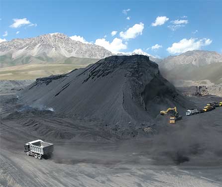
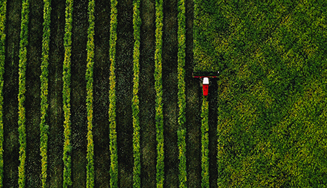
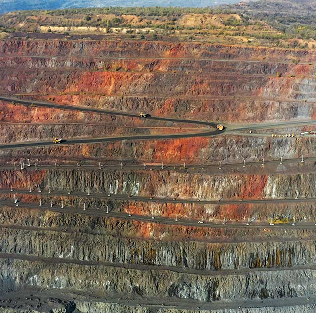
The most important is its application in the industrial and agricultural sectors. You can use drone shooting to calculate the volume of land or other objects, monitor them, inspect them, and identify problem areas of fields.
Drone Shooting Efficiency.
Aerial photography is effective in architecture, construction, and design. For example, it helps show the object’s state and present it.
Assessment of terrain and perspective, available through aerial photography, is helpful to plan the space and inspect the condition of communications and heating systems.
But that’s not all. Aerial photo and video shooting is used in geodesy and cartography and provides new research opportunities. Drone or UAV shooting is also of strategic importance in the military sphere.
Today, with the help of aerial photography, the world’s leading creative agencies and cinematographers create highly artistic content that wasn’t possible five years ago. It’s hard not to agree: the shooting taken from a bird’s eye view looks spectacular and adds a different scale.
Aerial photo/video shooting provides high-precision, detailed images. The result of the shooting may be a 3D model that considers even minor differences in terrain!
The technology allows you to shoot from different angles, including hard-to-reach. It makes it possible to assess the object or area more comprehensively.