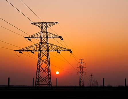
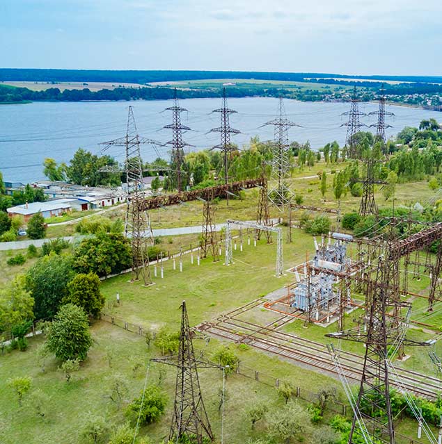
Overhead power lines are long and consist of power lines, insulators, and supports. Each structure component wears out and deteriorates under the influence of time, operating conditions, and natural phenomena. UAVs’ regular monitoring of power lines is used for efficient and fast troubleshooting.
Advantages of using UAVs for inspecting the power lines
– Fast and high-quality diagnostics. In a short period, drones can fly over large areas with installed energy facilities, inspecting hard-to-reach and dangerous places. The flights take place at a distance from the electric wire that does not require disconnection of voltage and shutdown of the entire station.
– Analyzing the technical condition of power lines. With the help of aerial thermal imaging, photography is possible to detect even minor defects (corrosion, mechanical damage to wires or insulators) and deviations in the system (leakage, overvoltage, overheating, or sagging wire).
– Monitoring the safety of the power station. Laser scanning of power lines allows you to record the slopes of the supports, measure the dimensions of the wire, detect unwanted vegetation, to model the areas of falling trees and the extent of the clearing.
– Creating electronic maps. 3D terrain models and orthophotos are created based on aerial survey data, which help establish exact coordinates and heights of supports and study features of the territory, relief, and natural resources for further design or modernization of power lines.
The first and the most crucial step is creating the product requirements document. The final results depend on how the PRD is made. Therefore, it is necessary to indicate the purpose of monitoring, the location, and length of the object, the exact coordinates of the power line support, the peculiarities of the enterprise, set the desired timing of work, and agree on the cost of services.
Aerial photography. The next stage is the process of photo/video shooting the power lines using UAVs. The drone is equipped with HD cameras and thermal imagers, which allow for capturing the minor elements of the object in several modes. Aerial photography is performed automatically on a set route. Up-to-date data is immediately transmitted to the control point.
Data Processing. Much of the received information is systematized through specialized software. Photogrammetric data processing is developing a digital 3D terrain model, orthophotoplan, and reporting tables. Electronic maps allow you to assess the current state and position of the power lines or do a project to construct new facilities.
Providing results. The processed data is transmitted to the customer in an accessible and understandable form for further analysis and decision-making on troubleshooting.
You can order monitoring of power lines UAV from DEF-C specialists. As a result, you will receive high-quality photos of the object, orthophotos, a digital terrain model, and a detailed report on the current condition of power lines.
The power line is monitored in several stages: preparation of product requirements document, aerial shooting of the object, data processing, and providing the results to the customer.
The inspection is carried out to discover technical problems on the lines and potential emergencies, assess hard-to-reach places without risk to life, and stop the work process.