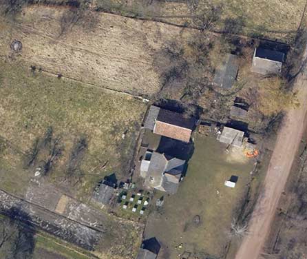
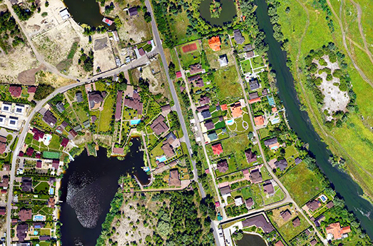
A digital orthophotoplan is a detailed map of the area with an accurate image of the earth’s surface, terrain, and object’s location, obtained by gluing photos taken with a drone and UAV.
Creating an Orthophotoplan
Creating an orthophotoplan is done in several stages:
– Preparatory stage: gathering the necessary information. At this stage, the specialist prepares the task of aerial photography, determines the required scale of the map, and sets the coordinates of control points in the field. Also, at this stage, the drone’s route is formed with the establishment of the optimal speed, altitude, image resolution, and takeoff point.
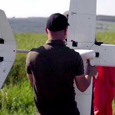
– The next stage is aerial photography. The start and endpoints of the flight are set at the desired location, and the automatic shooting process takes place according to the specified coordinates and reference objects.
– Final stage is data processing. The received shots are imported into the specialized application. The specialist sets the coordinates and necessary reference points to eliminate all defects in the images and builds an orthophotoplan. The finished orthophotoplan is available in various formats.
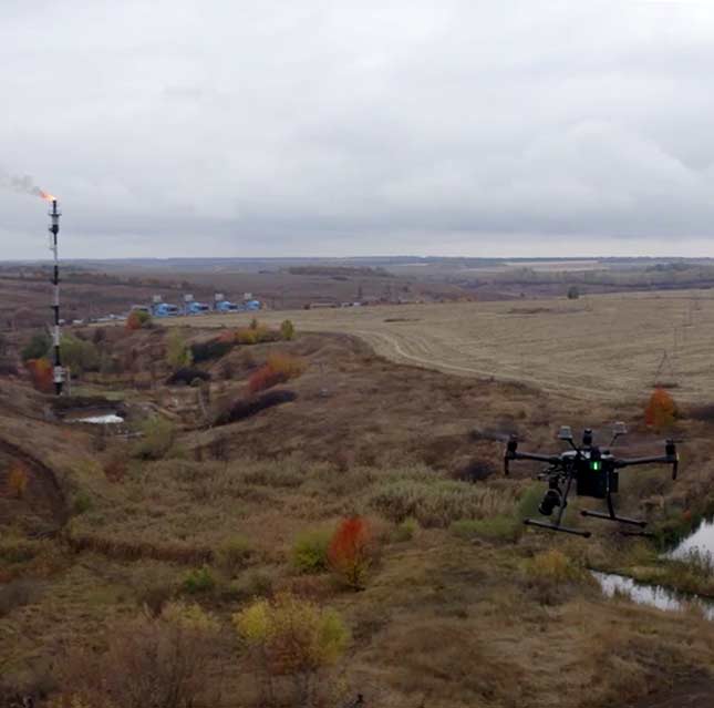
Aerial photography is automatic. The UAV can shoot on a set route with the ability to adjust it in real-time.
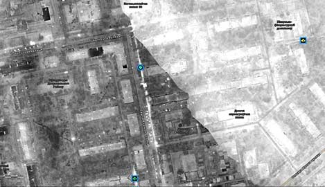
Orthophotoplan is required for:
– Determining the exact object coordinates in construction and architecture.
– Analysis, monitoring, and inspection of land in the industrial and agricultural sectors.
– Solving strategic tasks in the military field.
– Conditions of the relief assessment and conducting effective research
The quality of orthophotoplan depends on the equipment. For example, pictures taken with the Observer-S drone will have high resolution and detail in maximum accordance with the specified coordinates of the terrain.
The result is possible due to the technical characteristics of UAVs:
• flight range – 200 km
• flight duration – 160 minutes
• video channel range – 30 km
• optical zoom – 20x
UAVs Usage to Create an Orthophotoplan
It is possible to use UAVs and satellites, and airplanes with installed cameras to create an ortophotoplan. However, using the drone to get images of the earth’s surface is more profitable for several reasons:
• This type of shooting is cheaper.
• Aerial photography with a helicopter takes less time.
• Satellite imagery has a reasonably significant deviation from the specified coordinate system (1-10 m) as opposed to drone imagery (1-5 cm).
• Due to their technical characteristics, UAVs can take pictures at low altitudes and in hard-to-reach places.